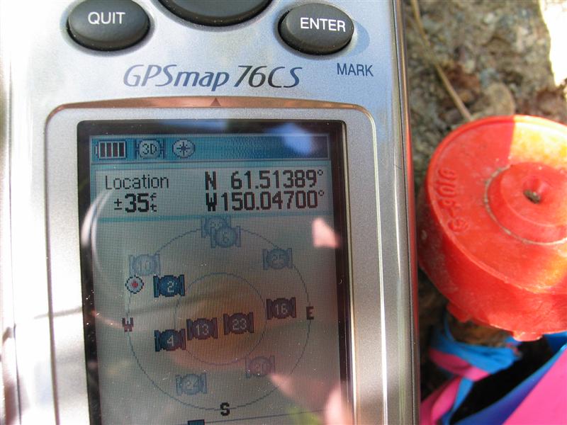
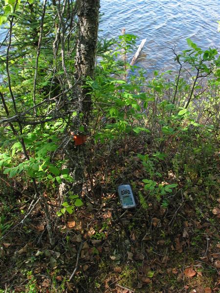
SW corner lot 3 or SE corner lot 2
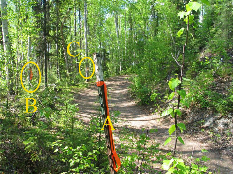
Point A is where the N-S property lines intersects Lamprecht driveway. First photo is looking north at point A with point B to the left and point C in the distance just left of the Point A stake. The second photo is point A looking south back to main road.
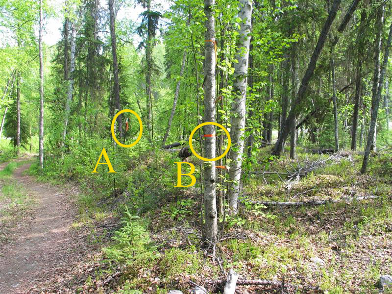
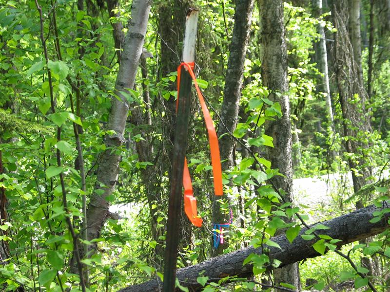
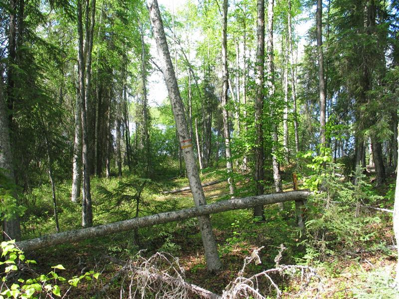
This is point B. Notice the old faded red flag further up the tree. This is where I thought the boundary was for 21 years. Second photo shows point B in the foreground and point A in the background to the left. This is looking south.

Point C. And point C looking south with points B and A in background.

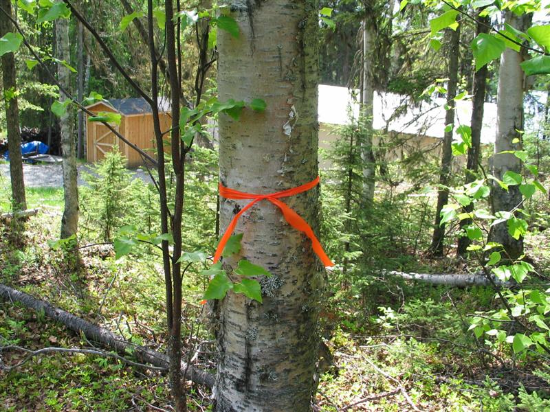
Point D. Notice my wellhead to the right. Could have selected a point closer but this should give any pulling unit room to pull my pump if needed some day. That is point E in the left background marked by your builder. The second photo is from the wellhead looking back to point D.
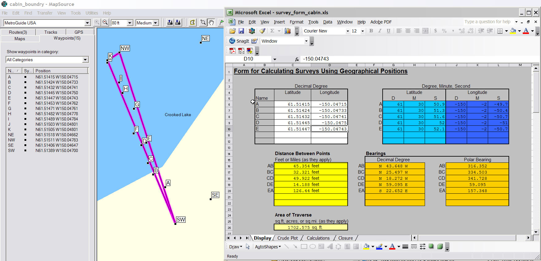
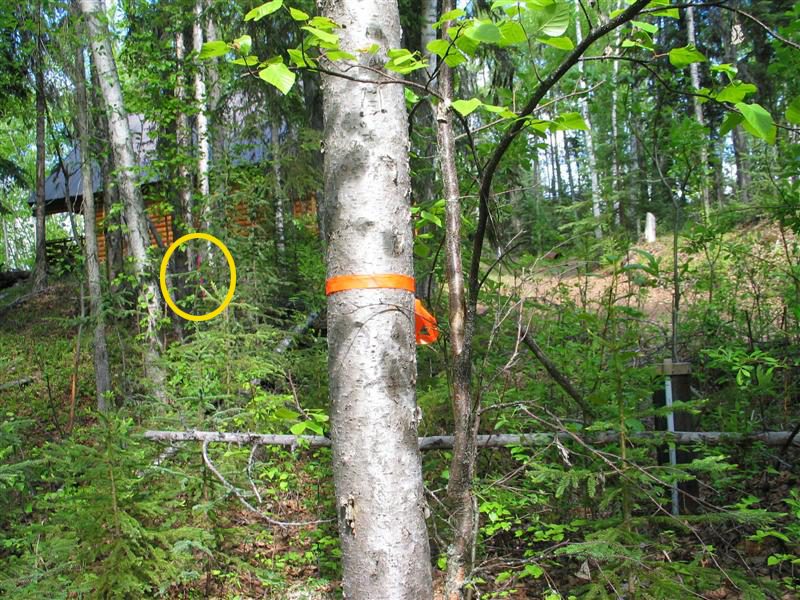
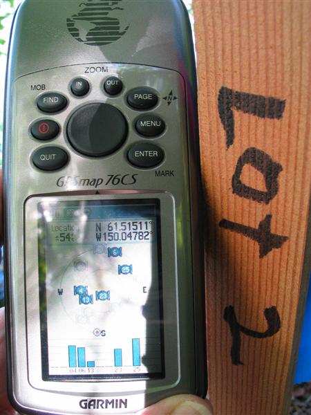
This is point E which your builder had marked, just north of my driveway. I've shown point D in the background as well as your cabin. Points A-E are all that are needed to calculate the size of the area. The next image is a view of the calculation sheet. All the waypoint information is on the left. The little map in the middle is a plot of all the points using a program called MapSource. I'll talk about all those other points later, but remember that A-E are the only ones needed for the area calculation. The right side of the second image contains the Excel spreadsheet showing the area calculations with points A-E. Notice the total comes to about 1700 square feet. I mentioned about 2300 square feet when we talked Sunday night. You can see why we need a surveyor to come up with the correct area.
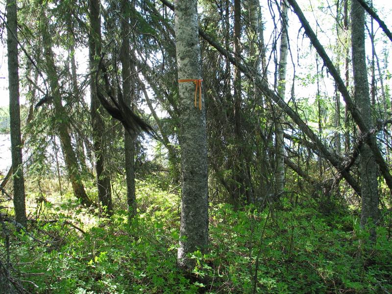

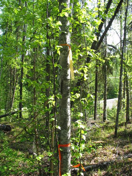
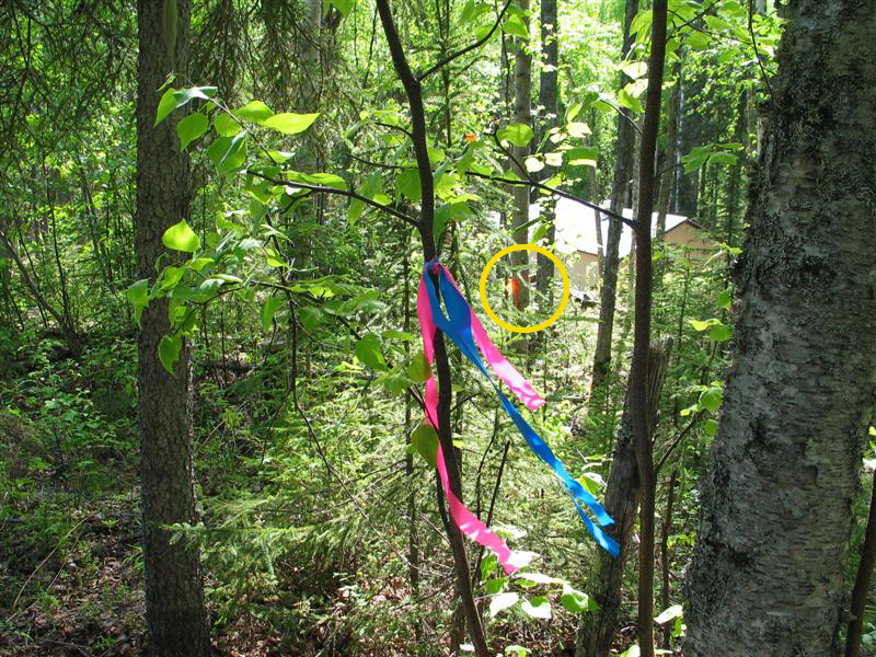
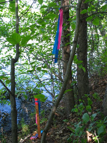
These images show some of the old flags that marked what I thought had been the border for 21 years. These are points F, I, J and two views of K at the lake edge. These along with point B mark what I thought was the border. You can see on the plot above that they are basically on a straight line (point SW to Point K), there's just no rebar at the lake's edge!

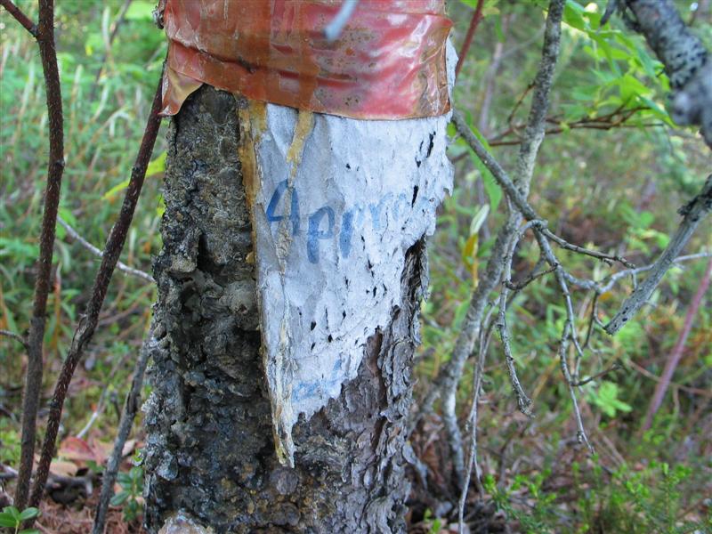

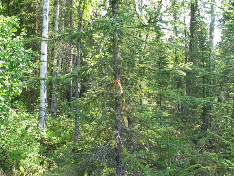
These are different views of point K next to the shore. The sign is on the north side of the tree and appears to contain the word "Approved" on it.
Here's the rebar marker at the NE corner of your lot or NW corner of my lot. This is about 37' east of where I thought the corner was (point K above)